Person Record
Metadata
Name |
Mason, Mabel D. |
Related Records
-
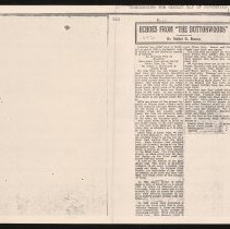
Map of Haverhill 1795, article by Mabel D. Mason, Echoes From "The Buttonwoods" - Photocopy
Article concerning the oldest map of Haverhill (1795), by Mabel D. Mason, from the "Echoes From 'The Buttonwoods'" column. The article is eleven paragraphs in two columns. The map discussed in the article is "An Accurate Plan of Haverhill Laid down from an actual Survey Taken June 1st 1795 by James C. McFarland & Josiah Noyes," see HK1.2 Senter G5x7 7-29. The article describes the map's features including bridges, rivers, ponds, streams, mills, s...
Record Type: Photo